- Jh123x: Blog, Code, Fun and everything in between./
- My Blog Posts and Stories/
- USA Trip to Nevada and Arizona/
USA Trip to Nevada and Arizona
Table of Contents
After posting so many posts about technical stuff. I think I should start this blog post with something more lighthearted. This post will be dedicated to my trip to Las Vegas within the US.
During my trip to Las Vegas, the main attraction was the following:
- Visit the Strip
- Visit Hoover Dam
- Visit the Grand Canyon
The Strip #
What is the Strip? #
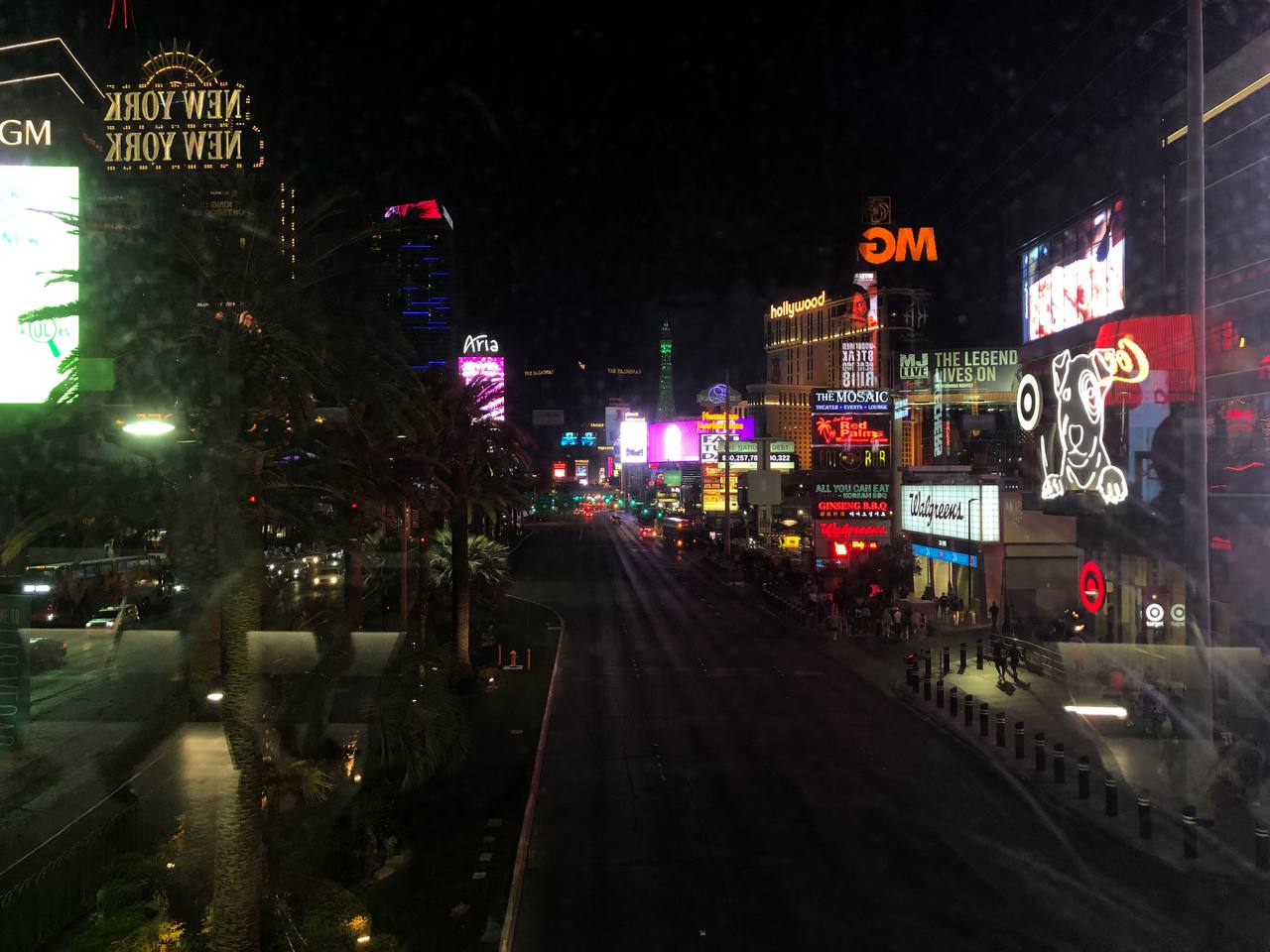
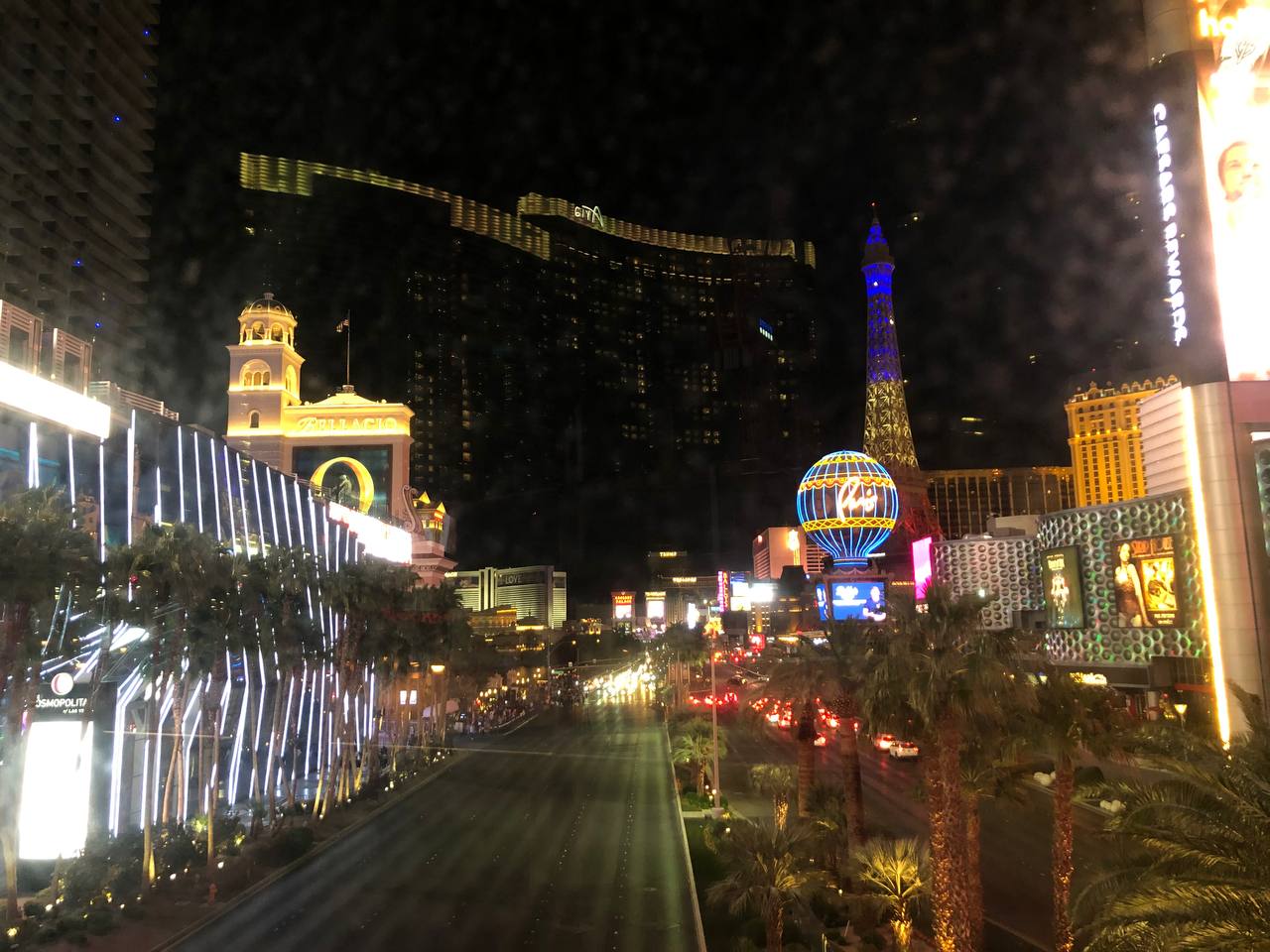
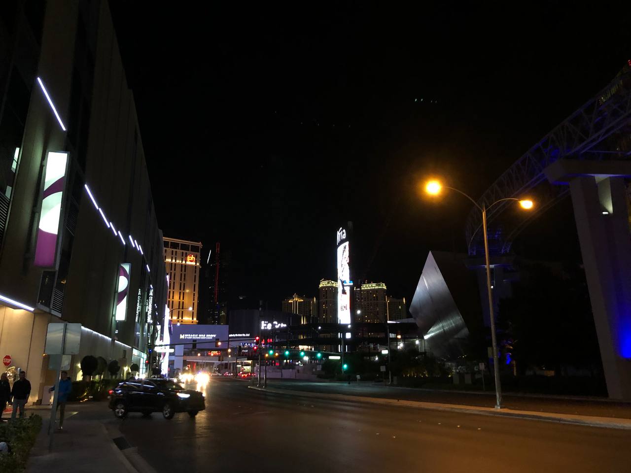
In Las Vegas, the Strip is a stretch of road at the Las Vegas Boulevard South that is known for its concentration of resort hotels and Casinos. The lists of stores there very long and it is full of glowing lights and neon signs. It is quite a sight to behold.
Below are some of the pictures I have taken for the trip
What did I do there? #
Everywhere I go I see bright lights and various hotel signs beckoning to me and asking me to visit them. How I wish I had the time to visit them all.
As with everyone else, my first instinct was to visit the casinos there. As a casino noob, I have no idea which are the best games to play over there. After a suggestion from my friends, I decided to go for roulette and blackjack. Maybe it was beginner’s luck, maybe it was my good skills (Clearly not), I manage to win a small sum of $$ from the games that I played

They had these big screens where the virtual "dealer" deals the card to the players on the screen and plays the game with us. Why did we not head to the live tables you ask? The minimum bet over there is $25 and I am too broke to be playing at those high stake tables.
It was definitely a change of pace compared to other parts of the US. It seemed to be filled with people who are coasting through life and enjoying their wealth.
Hoover Dam #
What is Hoover Dam? #
How can you not hear of hoover dam?? It is only one of the engineering marvels of our time! There is a great documentary explaining this
TLDR:
- One of the most important structures in the USA
- Listed among USA Civil engineering wonders in the USA
- Started construction in 1930
- 6.6 million tons of concrete
- Supplies electricity to 1.3 million people
- More than 8.5 million pounds of dynamite was used during construction
For more information you an also visit here
What did I do there? #
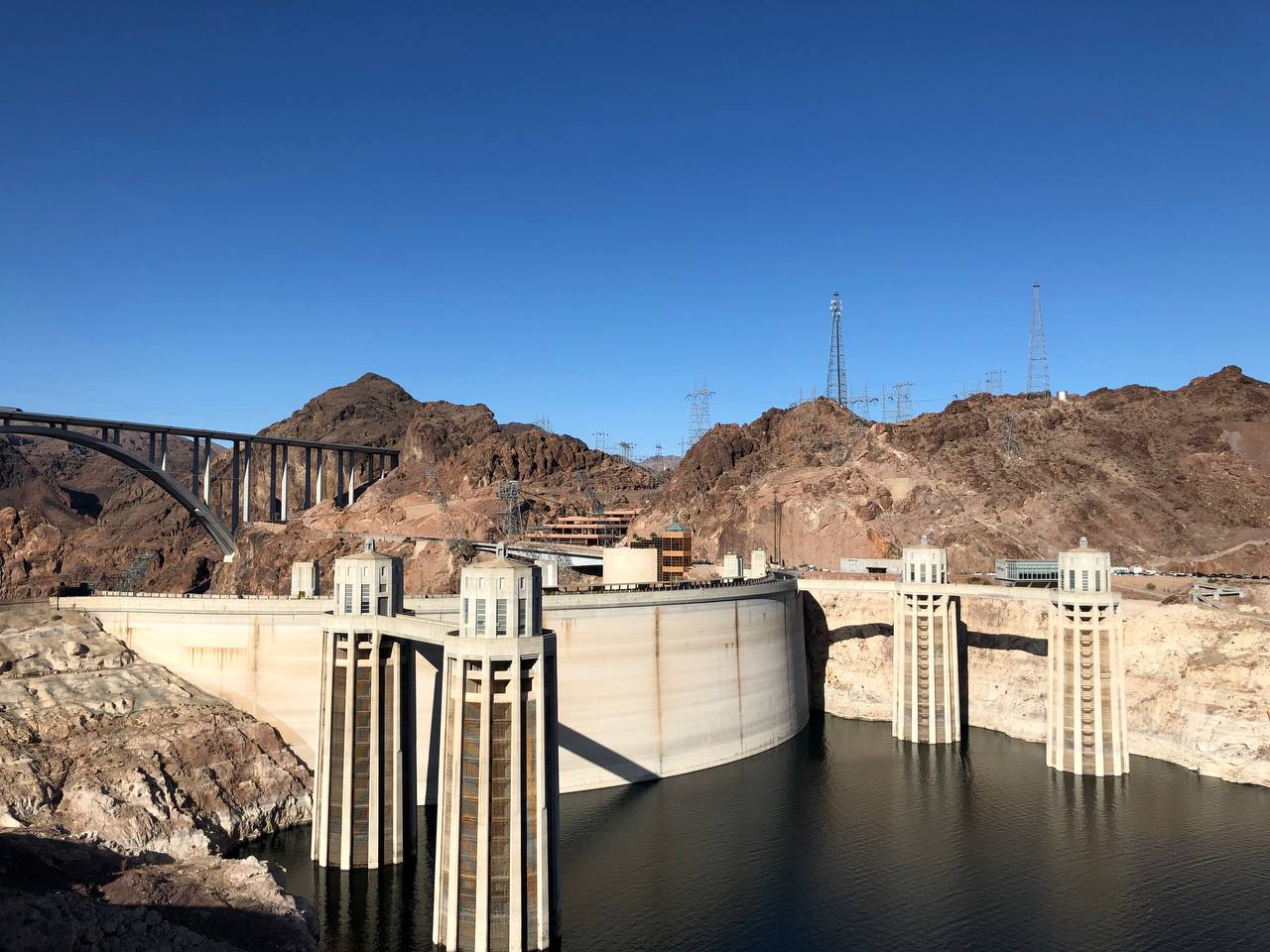
As someone who know how it was built and some history behind it, I stood there to appreciate its beauty but also took pictures :D. I still cannot believe that this was something that was constructed in the 1930s. It really seemed ahead of its time.
There is also an exhibition over there but due to the lack of time, we did not manage to visit the exhibition. For more information, you can find it here
This is the side facing the dam #
This is the side facing away from the dam #
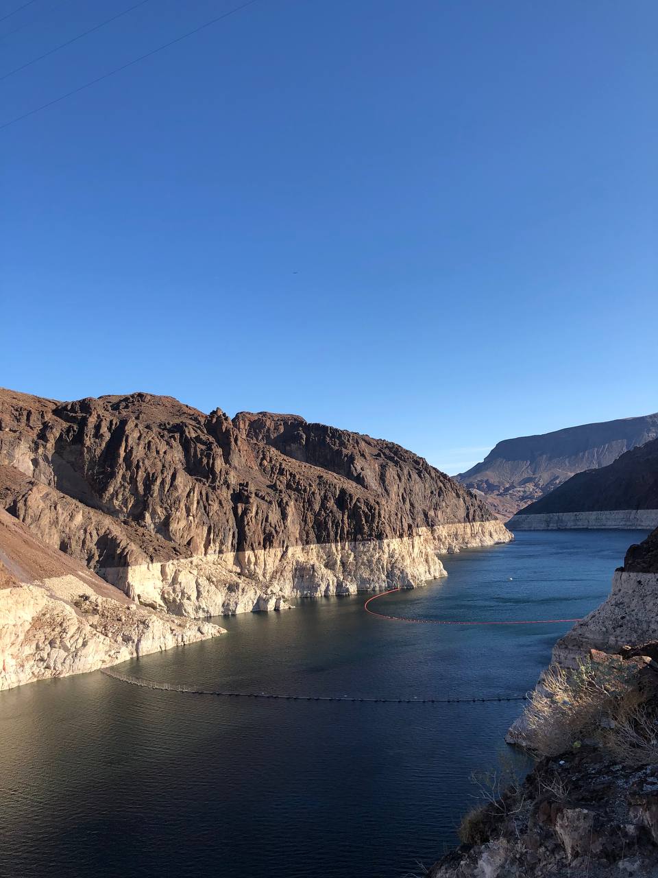
As mentioned by one of my friends, it looks like the side of the lake has a tan line which was very interesting :D
The Grand Canyon #
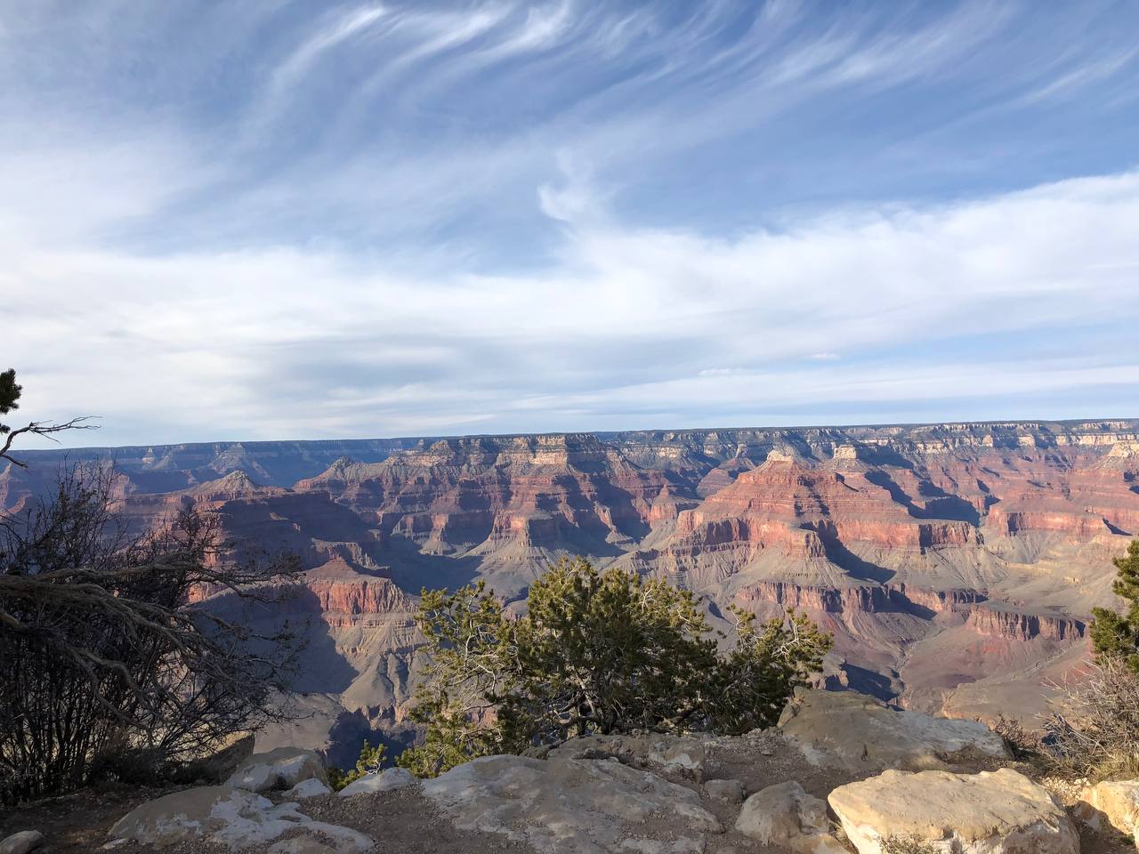
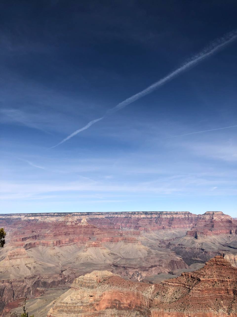
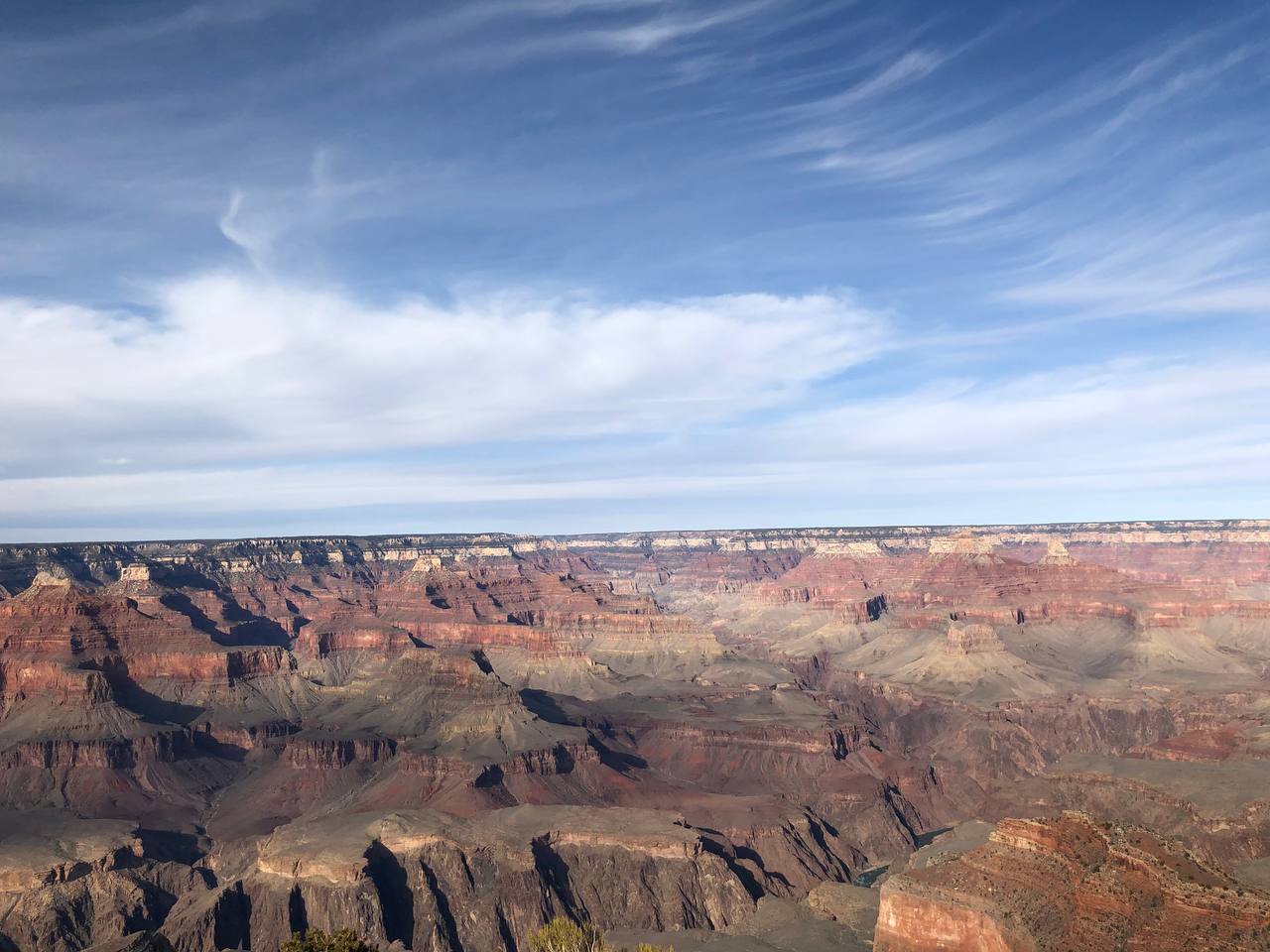
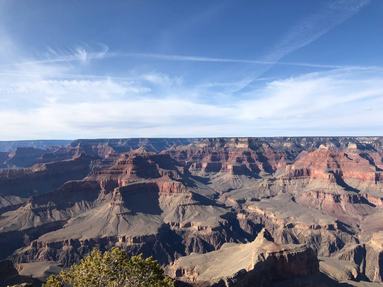
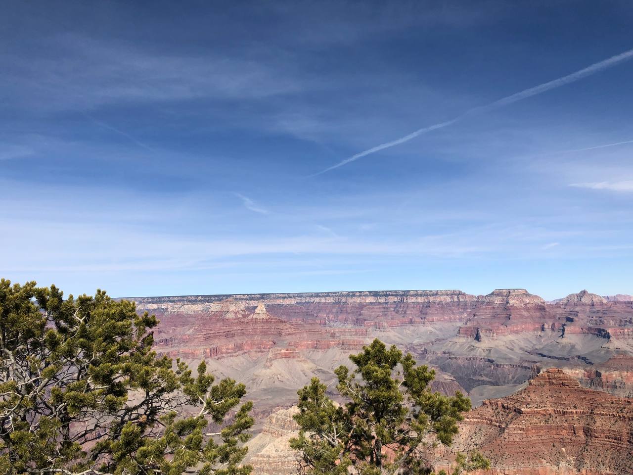
Now for the main event, the grand canyon. It is this huge canyon that spans 29km wide and is 446km long. It is also approximately 800m from the top of the canyon to the floor of the canyon. Just looking down from the top gives me a headache….
For more information about the grand canyon, visit here
What did I do there? #
Initially, I wanted to take the helicopter tour with the group over here. However, when I was asking the counter for the next available slot, there is only next week (Which is after my spring break) and I will definitely be unable to make it.
Welp with that out of the way, the only thing left to do is to explore the place on foot. Below is the excerpt of the map of the south side of the grand canyon (The side that my friends and I went to visit).
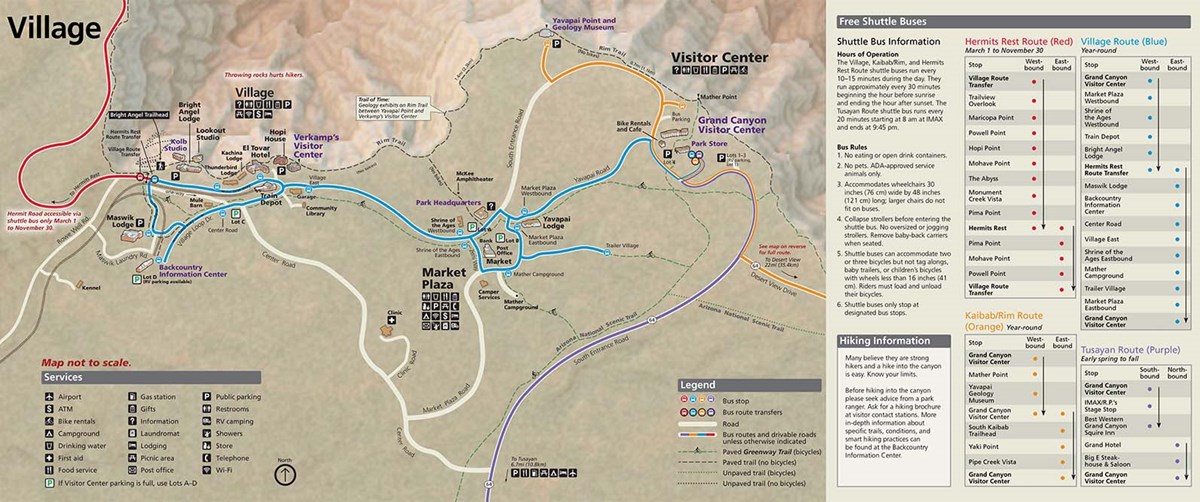
We came from the south side (Purple line) and went to the main visitor center where the yellow, purple and blue time converged. From there, we took the internal shuttle to visit Mather point which is at the top of of the map to the left of the visitor center.
We also followed the trail from Mather point to Yavapai Point where there is a little exhibit that explains more about the different layers of rocks which are found in the grand canyon and how it was formed.
After completing the journey, we went back to our vehicle and drove to the bus stop all the way to the left side of the map where the red line and blue line converge. The area marked out by the red trail is off limits to everyone except for authorised vehicles, so our only option was to take a bus.
We then went to 2 other points on the red side of the map (Not shown in the picture above), where we found more beautiful sights. At the end of the map is Hermit’s nest where there were many beautiful sunsets. Sadly, due to the lack of time, we did not manage to go there.
For those who are planning to visit the grand canyon, it is highly recommended to visit the Hermit’s nest for the sunset. It is known to be very beautiful.
Without further ado, these are the photos which I have taken over there.
Not sure if these type of content will interest you guys but hope that you guys enjoyed your trip together with me through the blog post.
See you guys in the next one :D